
Severe thunderstorms are expected across portions of the Southeast and Carolinas today where a Slight Risk (Level 2 of 5) has been issued. A Slight Risk Excessive Rainfall Outlook (Level 2 of 4) has been issued for part of the northern Gulf Coast today due to the threat of flash, urban, and riverine flooding. Read More >

 |


| Wakefield - MDOT | Rockland - MDOT | W. Iron Co - MDOT |
 |
 |
 |
| Houghton - MTU | Houghton Co Airport | Copper Harbor |
 |
 |
 |
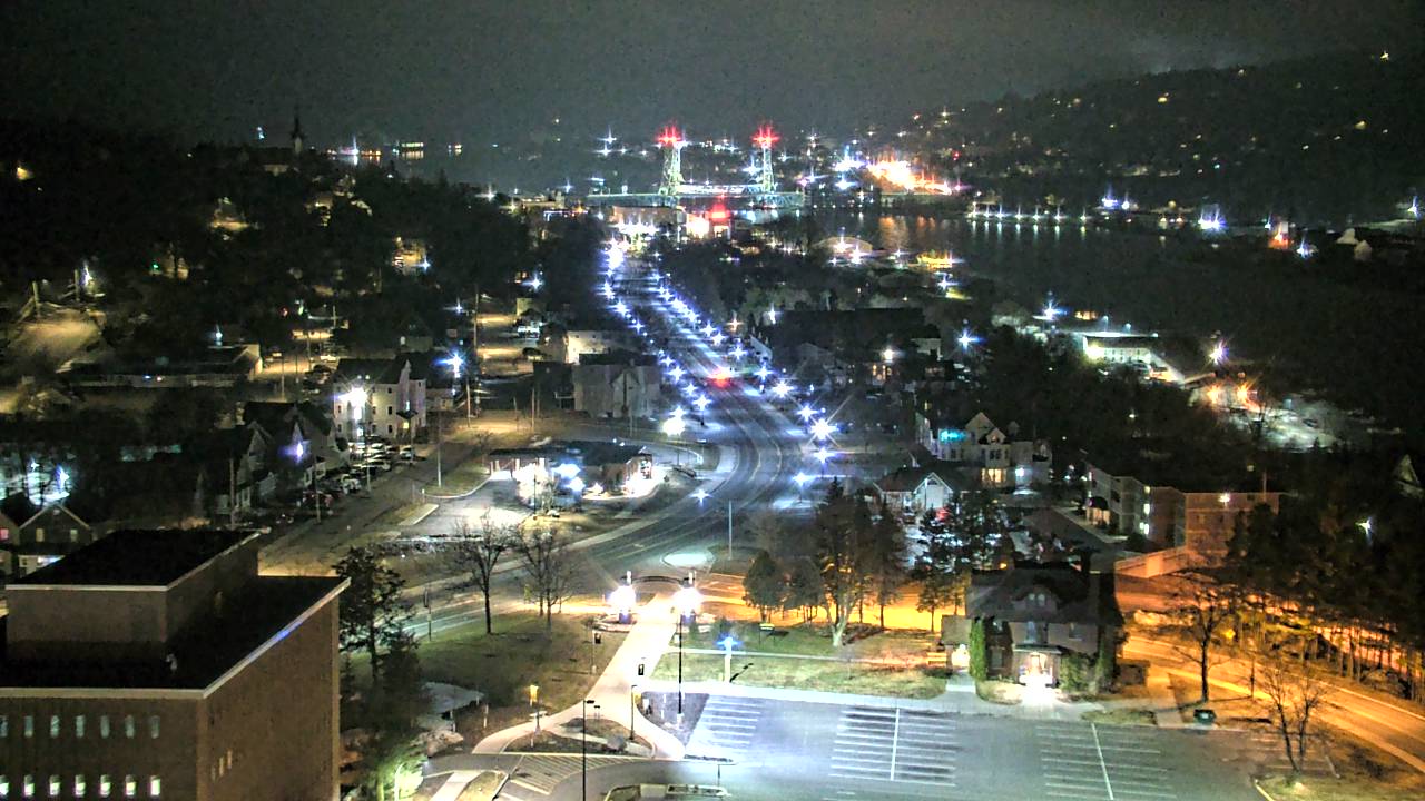
| Mt Mesnard NMU | Marquette - NMU | Harvey M28 MDOT |
 |
 |
 |
| Au Train - MDOT | Seney | Cooks - MDOT |
 |
 |
 |

| Road Conditions | Safety/Prepardness |
Phone numbers and web sites for road conditions:
|
 |


 Follow us on YouTube