Severe Weather Outlooks/Watches/Meso Discussions
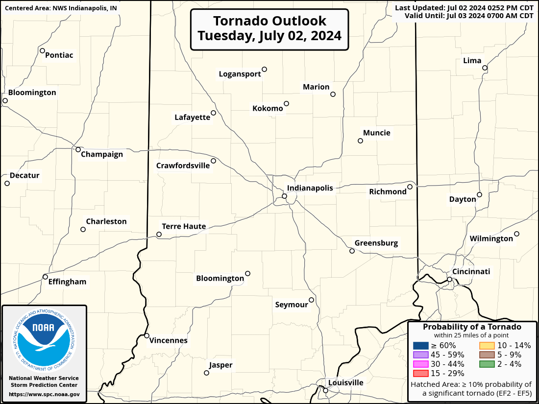
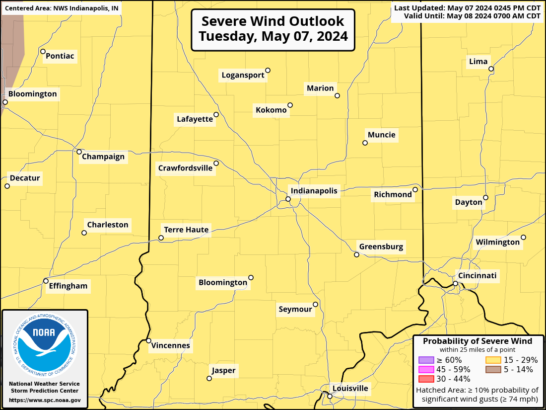
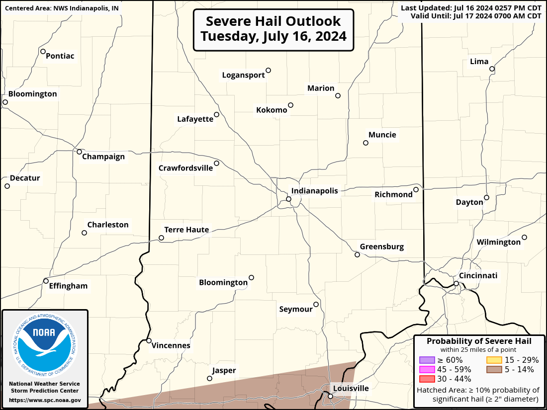
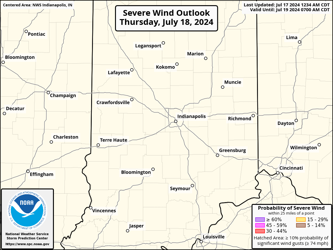
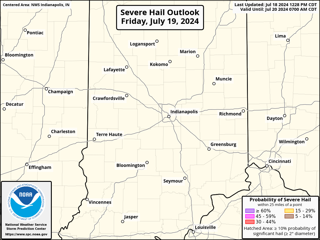
| Day 1 Outlook | Day 1 Tornado | Day 1 Damaging Winds | Day 1 Hail |
 |
 |
 |
 |
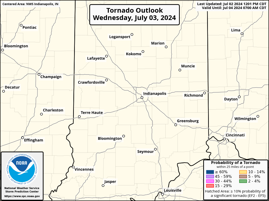
| Day 2 Outlook | Day 2 Tornado | Day 2 Damaging Winds | Day 2 Hail |
 |
 |
 |
 |
| Day 3 Outlook | Day 3 Probabilistic | Day 4-8 Outlook | Understanding Categories |
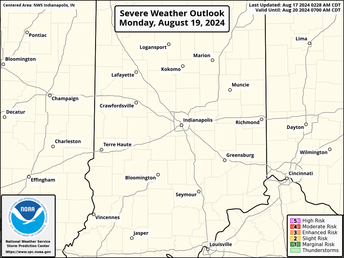 |
 |
 |
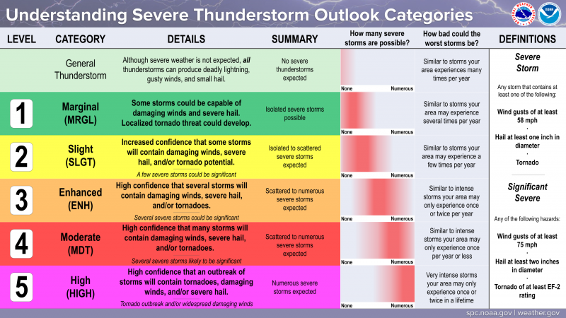 |
| Current Mesoscale Discussion | Current Watches | Current Storm Reports | Graphical Hazardous Weather Outlook |
 |
 |
 |
|
Heavy Rain/Flooding
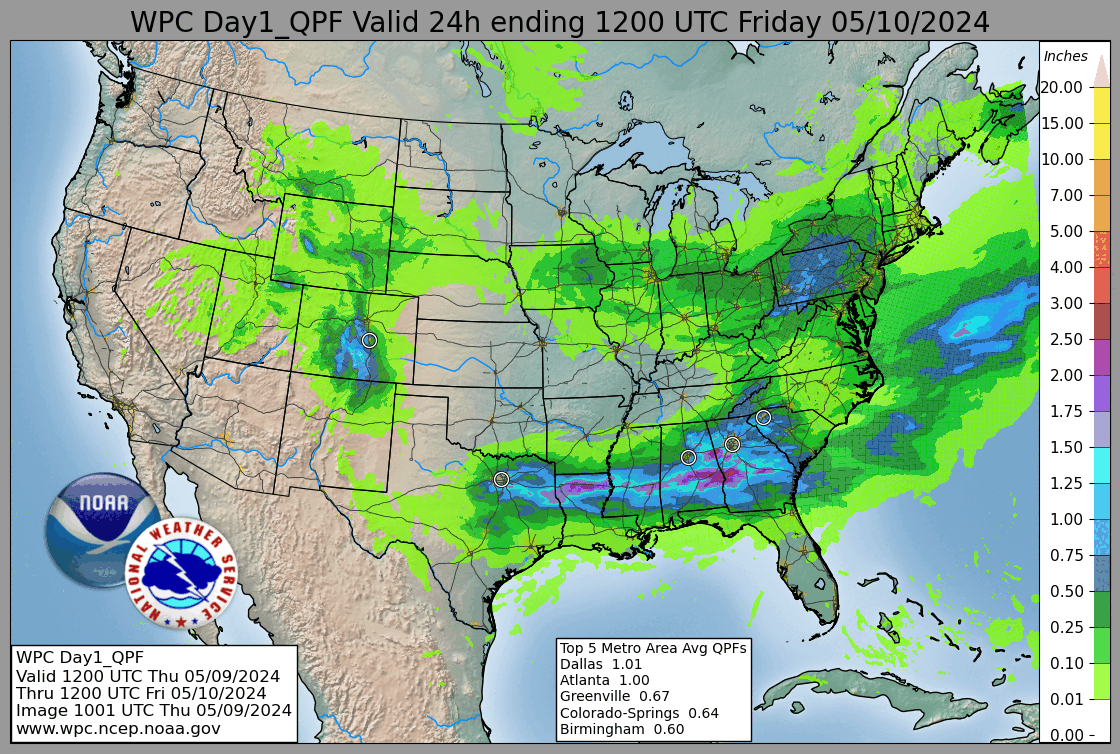
| Day 1 Rainfall | Day1 Excessive Rainfall | Day 2 Rainfall | Day 2 Excessive Rainfall |
 |
 |
 |
 |
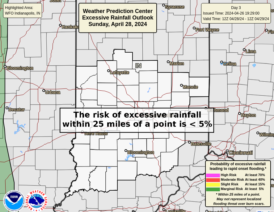
| Day 3 Rainfall | Day 3 Excessive Rainfall | Days 1-7 Rainfall Loop | Days 1-7 Rainfall Total |
 |
 |
 |
 |
Current Radar/Satellite
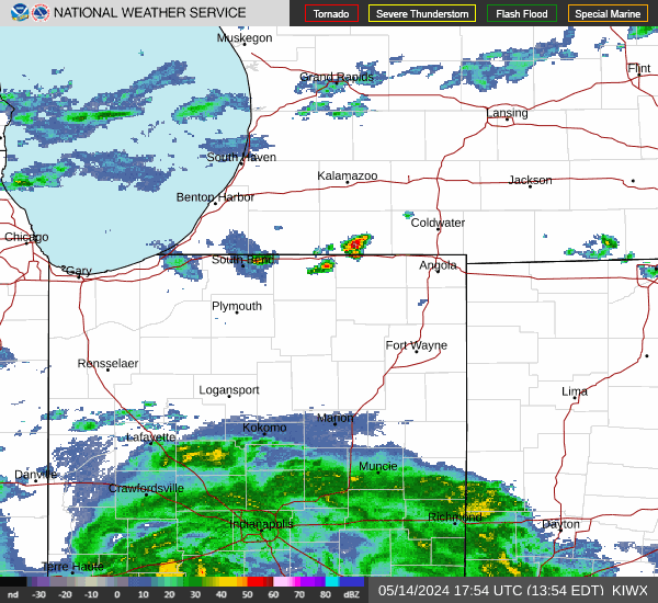
| Indy Radar | Chicago Radar | Nrn IN Radar | Wilmington OH Radar |
 |
 |
 |
 |
| Louisville KY Radar | Evansville Radar | Lincoln IL Radar | Regional Radar |
 |
 |
 |
|
| Latest Visible Satellite | Latest IR Satellite | Latest GEOColor Satellite | Latest Satellite With Lightning |
 |
 |
 |
 |
Selected Current Severe Weather Parameters from SPC
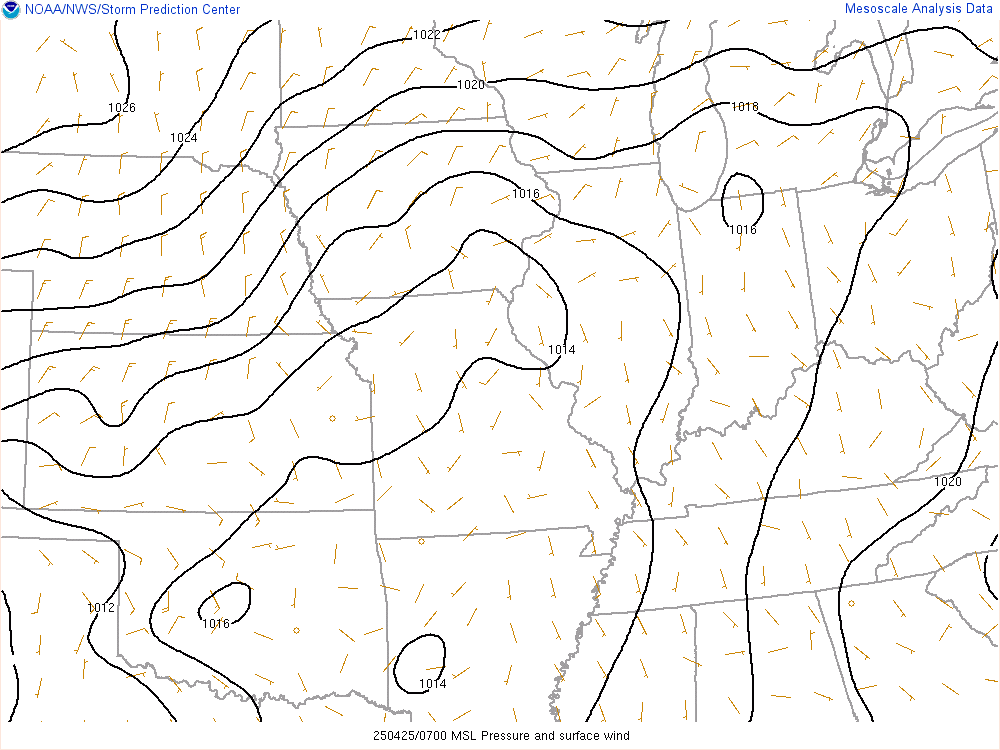
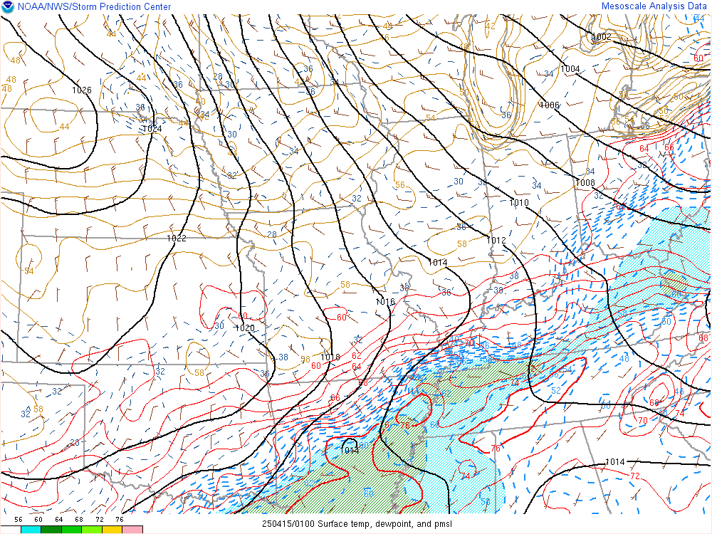
| Current MSLP | Current Temp/Dewpoint | Surface Based CAPE | 100MB ML CAPE |
 |
 |
 |
 |
| MUCAPE | LCL Height | Effective Bulk Shear | Effective SR Helicity |
 |
 |
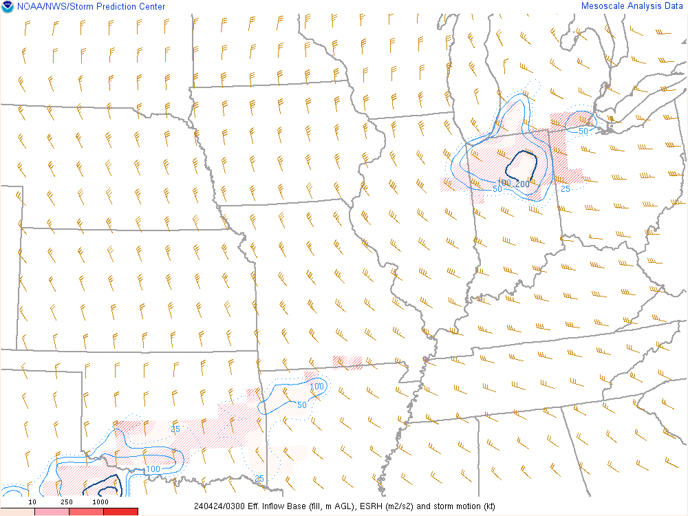
 |
 |
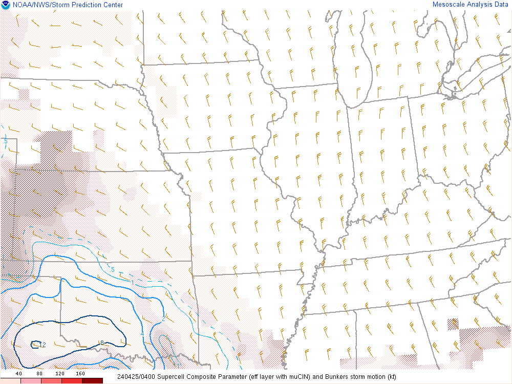
| Supercell Composite | Significant Tor (fixed) | Sig Hail | Precip Water |
 |
 |
 |
 |


 Follow us on YouTube