Green Bay, WI
Weather Forecast Office
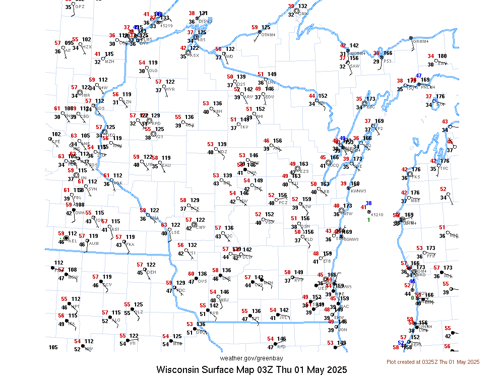
Current Weather
Latest Weather Observations
|
Wisconsin and Regional |
 |
Travel Weather
Upper Air Observations and Maps
US Dept of Commerce
National Oceanic and Atmospheric Administration
National Weather Service
Green Bay, WI
2485 South Point Road
Green Bay, WI 54313-5522
920-494-2363
Comments? Questions? Please Contact Us.


 Follow us on YouTube