.png)
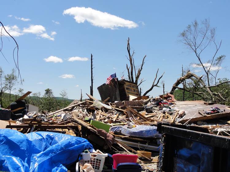
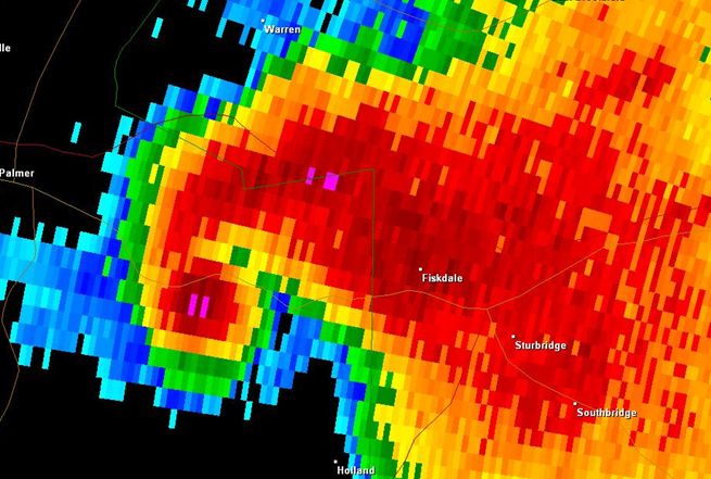
| What is SKYWARN™? The effects of hazardous weather are felt every year by many Americans. To obtain critical weather information, NOAA's National Weather Service (NWS), part of the U.S. Department of Commerce, established SKYWARN™ with partner organizations. SKYWARN™ is a volunteer program with nearly 290,000 trained severe weather spotters. These volunteers help keep their local communities safe by providing timely and accurate reports of severe weather to the NWS. In the average year, 10,000 severe thunderstorms, 5,000 floods and more than 1,000 tornadoes occur across the United States. Southern New England is no exception with major weather events such as Superstorm Sandy, the Revere Tornado of 2014, the floods of March 2010, and numerous blizzards including the latest of February 2013. These events threatened lives and property and because of this we rely heavily on our SKYWARN™ volunteers who call the NWS in Norton, MA to report certain weather conditions. Since the program started in the 1970s, the information provided by SKYWARN™ spotters, coupled with Doppler-radar technology, improved satellite and other data, has enabled NWS to issue more timely and accurate warnings for tornadoes, severe thunderstorms and flash floods. |
| SKYWARN™ storm spotters are part of the ranks of citizens who form the Nation's first line of defense against hazardous weather. There can be no finer reward than to know that their efforts have given communities the precious gift of time--seconds and minutes that can help save lives. While the main role of a storm spotter is to be their community's first line of defense against dangerous storms, they also provide important information to NWS warning forecasters who make critical warning decisions. Storm spotters play a critical role because they can see things that radar and other technological tools cannot, and this ground truth is critical in helping the NWS perform our primary mission, to save lives and property. | 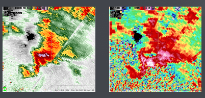 |
Each participant should register separately
Date/Time City/State Venue Registration
Thursday May 16th 6-8 PM Marshfield, MA Harbormaster Building Class Full. Sign up for the Waitlist
Date/Time City/State Venue Registration
Tuesday May 21st 6-8 PM Holden, MA Public Safety Building Class Full. Sign up for the Waitlist
Date/Time City/State Venue Registration
Wednesday May 22nd 6-8 PM Templeton, MA Senior Community Center Class Full. Sign up for the Waitlist
NEW FOR 2024: NWS Boston is no longer issuing individual SKYWARN numbers or requiring re-training every 5 years in order to remain a spotter.
While we encourage spotters to retrain periodically, it is not required to continue to provide reports.
|
Below are few resources hosted locally at the National Weather Service in Norton, MA, as well as National and Amateur Radio resources concerning SKYWARN™.
Forecasters from the National Weather Service (NWS) in Norton conduct storm spotter training sessions each year to help prepare spotters for the upcoming severe weather season. These sessions are free and open to anyone who is interested in learning about hazardous weather and the role of a spotter.
|
 |
 |
SKYWARN™ volunteers also help the NWS by reporting winter weather, flash flooding, coastal flooding, etc., according to the established criteria. It must be stressed that we are looking for reliable and objective reports. When snowfall reports are inflated or hail sizes are exaggerated, for example, it can do more harm than good. While not a requirement, it is preferred that our SKYWARN™ volunteers would be available to receive a call from the NWS, in the event we feel that something suspicious is happening in their area. Training sessions are held throughout southern New England, typically in the late spring and early summer months. The latest training dates can be found on the Training Schedule tab just above. One can also find announcements on our website or on social media. |
Relationship to COMET Training
We understand that some SKYWARN™ training courses are available through COMET (the Cooperative Program for Operations Meteorology, Education, and Training) entitled "Role of the SKYWARN™ Spotter" and "SKYWARN™ Convective Basics". While these are instructive, they do not meet the requirements to become a NWS-Norton SKYWARN™ Spotter. In order to become a NWS Boston/Norton SKYWARN™ spotter, it is necessary to attend one of the in-person training classes offered, usually in the spring and early summer. If you cannot attend an in-person class, you may watch the Virtual Training.
HOW TO REPORT:
Any other details that are important - How long did it last? Direction of travel? Was there damage? etc. |
 |
| Weather Event | Report Criteria | What Specifically to Report |
|---|---|---|
| TORNADO | Any! | |
| FUNNEL CLOUD | Organized, persistent, sustained rotation | |
| WALL CLOUD | Organized, persistent, sustained rotation | |
| HAIL | Pea-size or larger | Report the largest size hailstone |
| WIND GUSTS | 40 mph or higher | Specify estimate or measurement |
| STORM DAMAGE | Damage to structures (roof, siding, windows, etc) Damage to vehicles (from hail and/or wind) Trees or large limbs down Power/telephone poles and/or lines down Damage to farm equipment, machinery, etc. |
| Hail Type | Hail Size |
|---|---|
| Pea | 0.25 inch |
| Half-inch | 0.50 inch |
| Dime | 0.75 inch |
| Nickel | 0.88 inch |
| Quarter | 1.00 inch |
| Half Dollar | 1.25 inch |
| Ping Pong Ball | 1.50 inch |
| Golf Ball | 1.75 inch |
| Hen Egg | 2.00 inch |
| Tennis Ball | 2.50 inch |
| Baseball | 2.75 inch |
| Tea Cup | 3.00 inch |
| Grapefruit | 4.00 inch |
| Softball | 4.50 inch |
| Weather Event | Report Criteria | What Specifically to Report |
|---|---|---|
| Rainfall |
|
|
| Flooding |
|
| Wind Speed | Typically Observed Damage |
|---|---|
| 30-44 mph (26-39 kt) | Whole trees in motion. Inconvenient walking into the wind. Light-weight loose objects (e.g., lawn furniture) tossed or toppled. |
| 45-57 mph (39-49 kt) | Large trees bend; twigs, small limbs break and a few larger dead or weak branches may break. Old/weak structures (e.g., sheds, barns) may sustain minor damage (roof, doors). Buildings partially under construction may be damaged. A few loose shingles removed from houses. |
| 58-74 mph (50-64 kt) | Large limbs break; shallow rooted trees pushed over. Semi-trucks overturned. More significant damage to old/weak structures. Shingles, awnings removed from houses; damage to chimneys and antennas. |
| 75-89 mph (65-77 kt) | Widespread damage to trees with large limbs down or trees broken/uprooted. Mobile homes may be pushed off foundation or overturned. Roof may be partially peeled off industrial/commercial/ warehouse buildings. Some minor roof damage to homes. Weak structures (e.g., farm buildings, airplane hangars) may be severely damaged. |
| 90+ mph (78+ kt) | Many large trees broken and uprooted. Mobile homes damaged. Roofs partially peeled off homes and buildings. Moving automobiles pushed off the road. Barns, sheds demolished. |
| Weather Event | Criteria |
|---|---|
| Winter Weather |
|
| Snowfall |
|


 Follow us on YouTube