
Isolated strong to severe thunderstorms capable of producing large hail and damaging wind gusts will be possible this evening across west-central Texas. Elevated to Critical fire weather conditions will persist across the southern Rockies and portions of the southern Plains through this weekend. Read More >
Please note: if nothing appears on this screen, find the latest text outlook by clicking/tapping here.
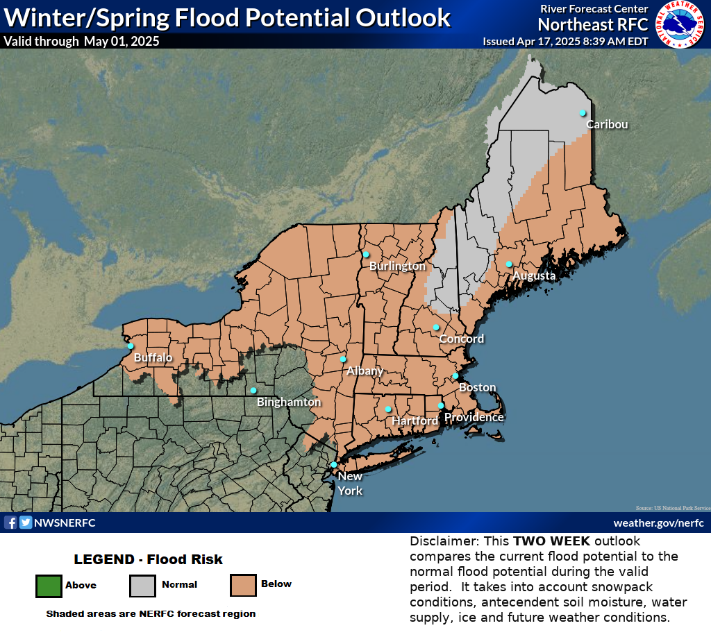
Local NWS Office Flood Outlook Discussions:
(check the date near the top of each product to ensure it is current!)
Cold Season Self Briefing Page
To view long-range probabilistic guidance at our river forecast locations, use the following directions:
Note: All our probabilities are based on natural flow, without any ice effects. Ice effects may cause flooding even when natural flow is limited.

