|
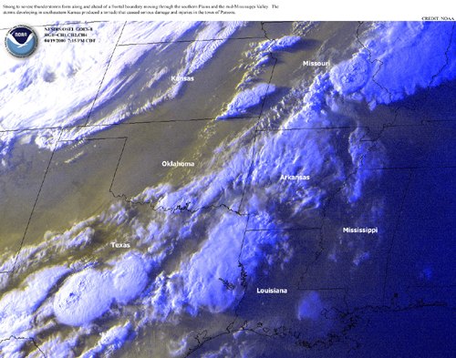
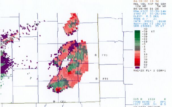
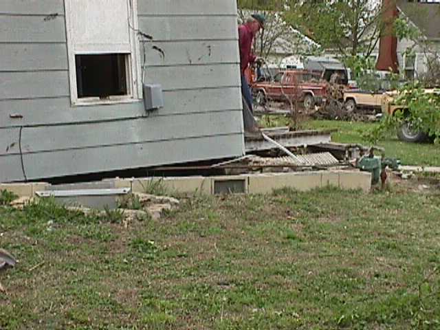
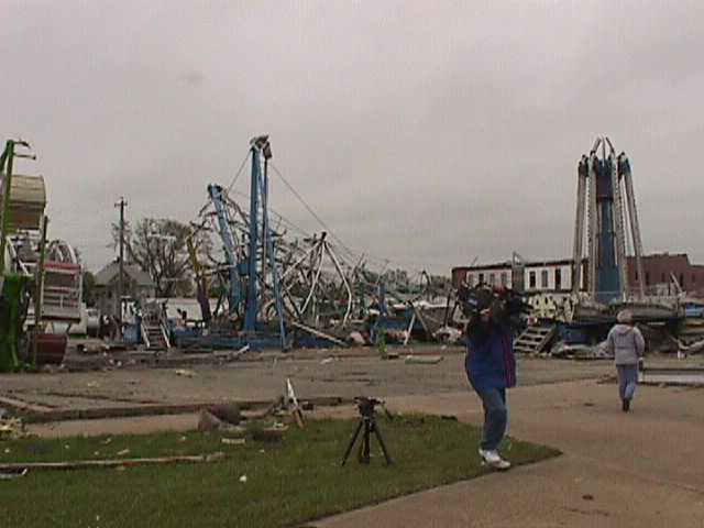
Severe thunderstorms developed ahead of a pre-frontal dryline just after 7 pm CDT, as a strong upper-level storm system moved northeast across the central Plains. The first supercell developed across Montgomery county, with the first brief tornado touchdown (F0) near Havana just before 8 pm. The same supercell produced another brief tornado (F0) as it passed just south of Cherryvale. This storm intensified as it moved across northern Labette county, producing a longer track tornado (12 mile path) with F3 damage occurring in the city of Parsons, KS around 850 pm.
The second supercell storm moved across Neosho county, with the initial touchdown about 6 miles southwest of Erie, KS, around 825 pm. The tornado stayed on the ground for about 13 miles across Neosho county, passing across the south edge of Erie around 831 pm, before exiting the county just west of Walnut, KS. This tornado produced F2 damage along its entire track across Neosho county.
|


 Follow us on YouTube