|
This graphic reflects both the severity of any thunderstorm activity that may develop, as well as the potential coverage of severe thunderstorms.
For example, an area under the "Strong to Severe" category, at worst, will see storms that have severe-criteria damaging winds or large hail. However, only a few of the storms that will develop are expected to meet these criteria.
|
Categories
| No Storms |
Thunderstorms are NOT EXPECTED during the period. |
| General |
Strong or severe thunderstorms are not anticipated. The main hazard with any storms would be cloud to ground lightning and brief gusty winds (30 mph or less). |
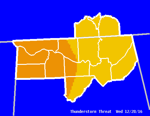
| Strong |
Some strong thunderstorms are possible, with the main threats being frequent cloud-to-ground lightning, wind gusts to 50 mph, and hail to 1/2" in diameter. |
| Strong to Severe |
The majority of storm activity is expected to remain below severe criteria. However, a few severe storms are possible, with the main threats being wind gusts to 60 mph and hail up to 1" in diameter. |
| Severe |
There is an increasing probability of severe thunderstorms. The primary threats would be winds greater than 60 mph and hail up to 2" in diameter. Isolated, weak tornadoes are possible. |
| Widespread Severe |
The occurrence of significant severe weather is likely. The main threats would be wind gusts in excess of 80 mph, very large hail (greater than 2" in diameter), along with an increasing threat for tornadoes. An isolated strong or violent tornado (F2 intensity or greater) is also possible. |
|


 Local Radar
 Weather Map
 Follow us on YouTube