| Overview | Radar |
Storms rolled across parts of the CWA (County Warning Area) during the afternoon on Tuesday, August 26, 2014. The atmosphere was primed for storms as temperatures climbed into the upper 80s to around 90 degrees and dewpoints reached into the lower 70s. A cold front approaching the area created the necessary lift needed for storm development. Storms quickly raced east across southern, lower Michigan bringing numerous reports of downed trees and power lines were reported, along with wind gusts of up to 60 mph.
Back to top
(Note: Radar time is shown in CDT)
 |
| Radar loop courtesy of Iowa Environmental Mesonet (IEM). Larger red boxes are tornado watches, storm-based tornado warnings shown with smaller red boxes, yellow boxes are severe thunderstorm warnings, and green boxes are special marine warnings. |

|
|
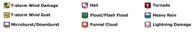
| Image courtesy of Iowa Environmental Mesonet (IEM). Yellow boxes are severe thunderstorm warnings, red box is a tornado warning, and purple boxes are special marine warnings. Local Storm Reports (LSR) are also shown plotted on the map. |
|
|
Test listing of summary LSRs (Local Storm Reports)
Back to top


 Follow us on YouTube