Notable Links:
Sometimes, external factors from distant locations can have an affect on local weather conditions. On May 30, 2001 a closed upper level low pressure system was beginning to pull out of central New York and northeast Pennsylvania while a high amplitude ridge was building in from the west and bringing Canadian air into the Great Lakes region.

During the afternoon of May 30th a smoke plume from fires burning in Alberta, Canada began to get caught in the upper level flow between the departing low and the building ridge (Figure 1). As the plume continued to disperse downstream it began to elongate (Figure 2). By the morning of May 31st the plume stretched from James Bay in Canada, through central New york and northeast Pennsylvania, and continued well out into the Atlantic Ocean as it wrapped around the bottom half of the closed low (Figure 3).
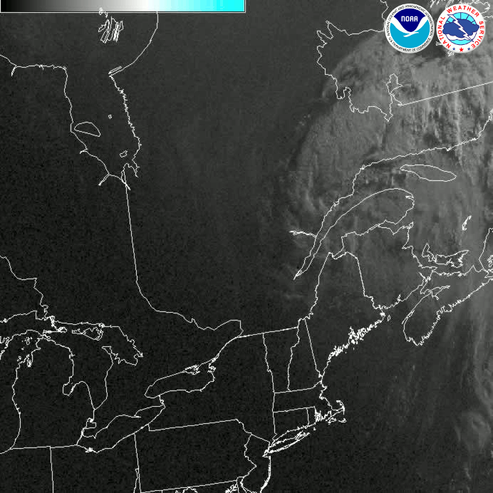
Smoke plumes can sometimes be difficult to distinguish from cirrus clouds in visible satellite pictures. To fully analyze features in the atmosphere several different satellite perspectives are necessary. Look at the differences in the satellite images in Figure 4. The visible image (upper left) clearly shows the plume of smoke yet the infrared images indicate clear skies over the region. This is because the visible image uses reflected light from atmospheric particles while the infrared images use radiation emitted from cloud particles. Since the plume shows up in the visible image but not the infrared images it is highly likely that the plume is not made up of liquid or ice particles and is therefore not a cloud. Ground observations on the morning of the 31st also did not detect any refractive optical phenomenon such as halos or sun dogs which are commonly seen in cirrus clouds.
So what's the big deal you ask? During the night of May 30th-31st, central New York and northeast Pennsylvania was expected to be in a favorable environment for radtiational cooling with clear skies and relatively light winds. Dew points were around 30F and the threat of frost was a concern overnight. However, the smoke plume moved over the area and slowed down the radiational cooling. While some locations reported temperatures in the lower 30s on the morning of the 31st, most readings were in the middle 30s with no frost. Had the smoke plume not moved over the region, temperatures would likely have been a few degrees cooler and there would have been extensive damage to crops by a widespread frost.
Here is another example:
Forest fires across the western sections of the Canadian Province of Quebec brought a hazy, smoky day across parts of central New York and Eastern Pennsylvania on July 6th, 2002. The image below is a visible satellite image at 12:15 pm EDT. The smoke plumes are the "milky" dim, transparent areas on the image. Some are highlighted with yellow arrows. The brighter white areas, across the right hand side of the image, and on the extreme left side of the image are clouds. The speckled areas across parts of Pennsylvania are clouds. The blue arrow shows the generally wind direction and the movement of the smoke.

Visiblie satellite loop below starts at 5:15 AM EDT (915 UTC) through 2:15 PM EDT (1815 UTC) Saturday July 6th, 2002.


 Follow us on YouTube